Ogden Valley Water Recreation
Ogden Valley Water Recreation
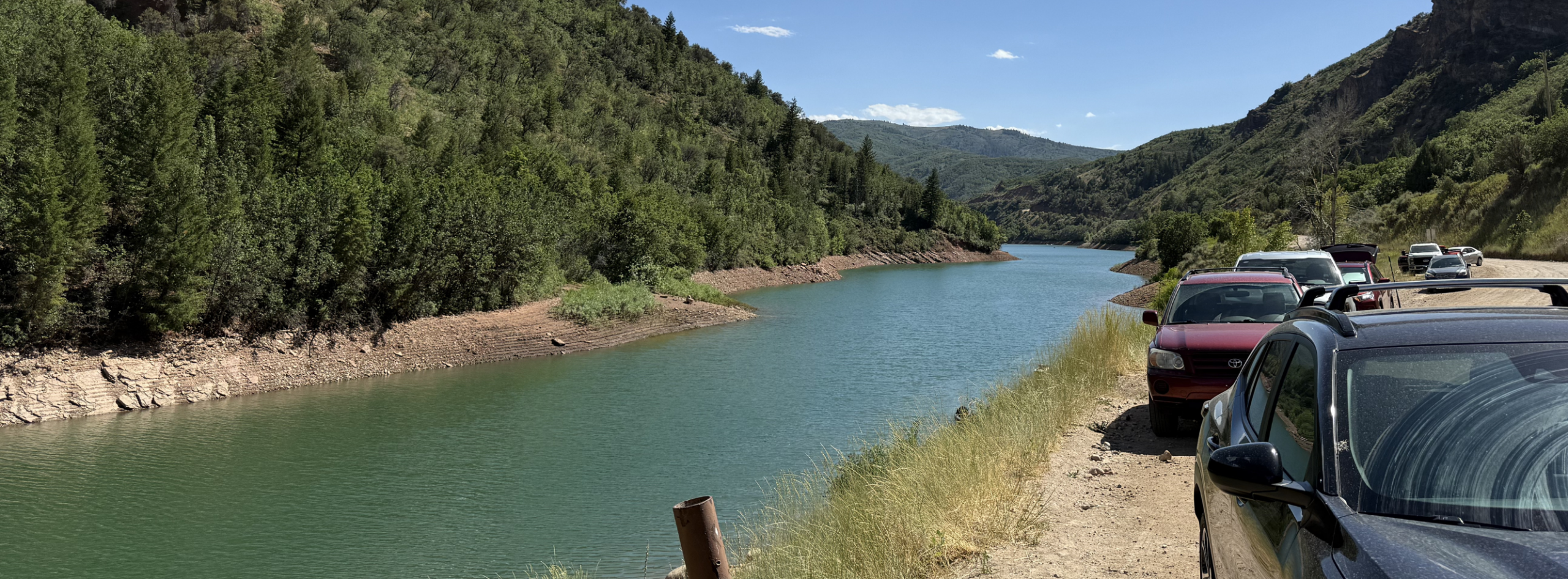
Ogden Valley is home to two popular reservoirs, Pineview Reservoir and Causey Reservoir, both connected via the South Fork of the Ogden River. Reservoir parking is busiest on weekends and holidays.
Pineview Reservoir
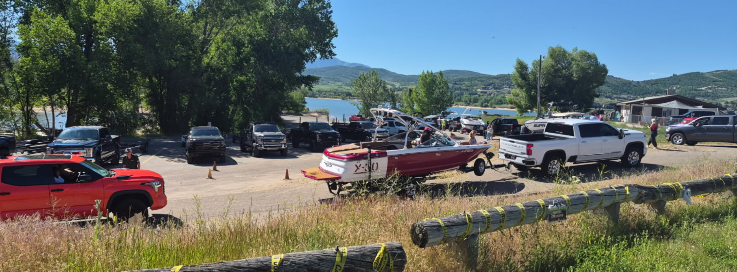
The U.S. Forest Service manages Pineview Reservoir, which offers boating, fishing, and beaches in summer and ice fishing in winter. There are also several trailheads nearby.
 Closure Alert
The Port Ramp and Pineview Trail (Windsurfer Beach) are closed for construction through 2026. No public access will be allowed at any time during construction.
The map below shows the construction area and where access is closed.
Parking and Fees
The U.S. Forest Service manages Pineview Reservoir, which offers boating, fishing, and beaches in summer and ice fishing in winter. There are also several trailheads nearby.
- Access to Pineview's developed recreation areas (Port Ramp Marina, Middle Inlet, Cemetery Point, and Anderson Cove) requires a day-use fee or season pass during the summer.
- Free access for those without motorized boats is available at Windsurfer Beach, North Arm, Pelican/Quist Beach and Spring Creek.
 Expect traffic when boating season begins. Always check signage, as roadside parking is strictly regulated; the sheriff's office patrols the area and issues tickets. There is not enough turnaround space for larger boats if parking areas fill.
Causey Reservoir
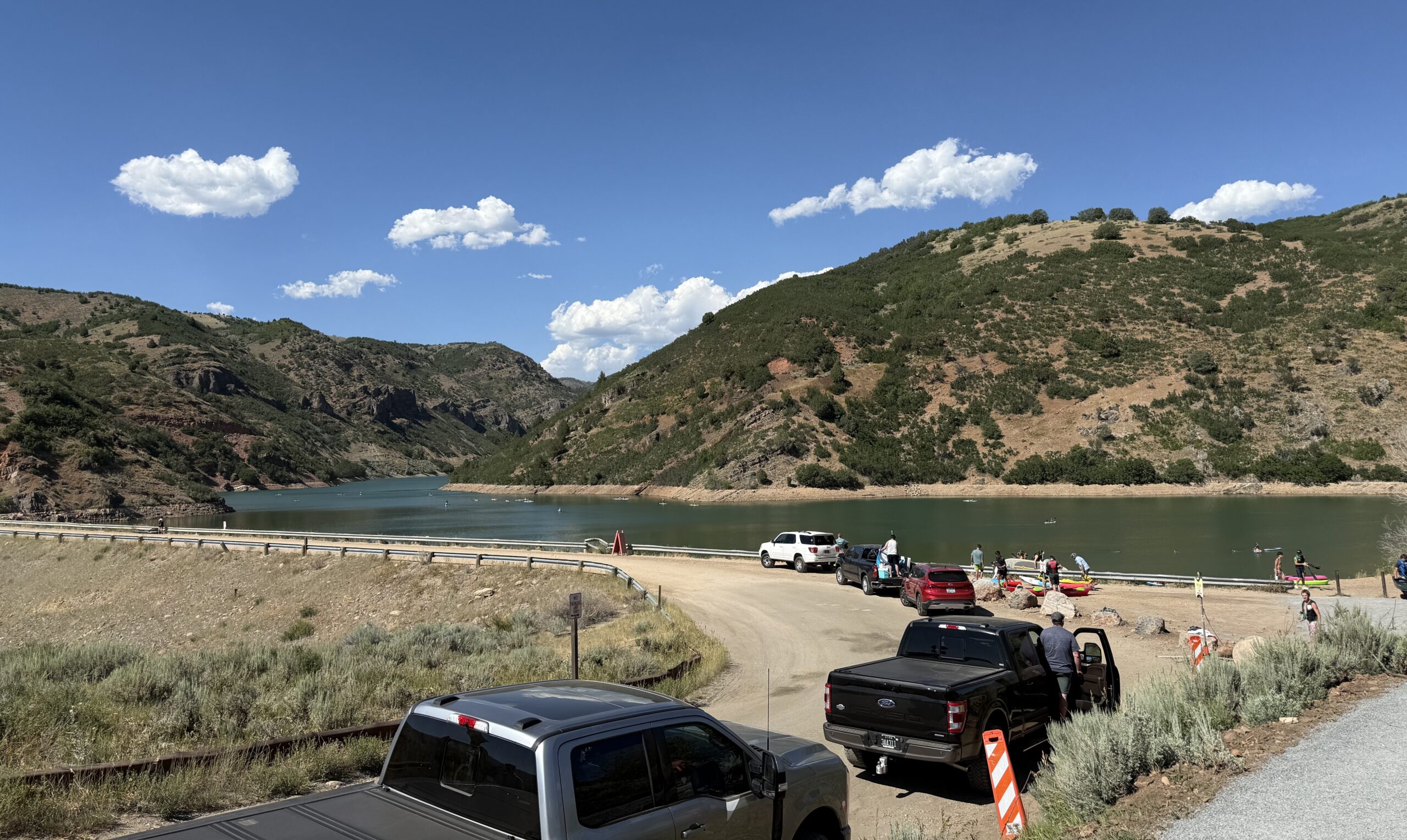
Causey Reservoir, also managed by the U.S. Forest Service, is 10 miles east of Huntsville off SR-39. Motorized boats are not allowed, but Causey is a popular destination for kayaking, canoeing, and stand-up paddleboarding.
Parking and Fees
There are currently no fees required. Fees will be implemented at Causey Reservoir Picnic Area, Skull Crack Trailhead, and Wheatgrass Trailhead when improvement projects are complete, expected in December 2027.
The project includes two new parking lots to reduce weekend parking congestion.
Closure Alert
The Skull Crack Trailhead is closed for construction through 2026. No public access will be allowed at any time during construction.
The interactive StoryMap below shows the construction area and where access is closed.
South Fork Ogden River
The South Fork of the Ogden River follows SR-39 east of Huntsville through a mix of public U.S. Forest Service land and private property. It is a blue-ribbon fly-fishing stream. Anglers can pull directly into developed sites to park and reach the riverbanks.
Parking and Fees
Primary access is via designated U.S. Forest Service campgrounds. These sites offer parking and river access for a seasonal day-use fee (typically mid-May through September).
For fee-free access, visitors may use designated wide pullouts along SR-39.
Vehicles must remain completely clear of the white line when parking at the pullouts.
North Fork Ogden River Recreation
The North Fork of the Ogden River flows near Liberty down into the North Arm of Pineview Reservoir. Much of the lower section river cuts through private agricultural land and residential lots in Liberty, making public access limited. North Fork Park provides the most accessible, legal public access to the upper stretches of the river.
Parking and Fees
North Fork Park is the primary access point to the upper stretches of the river. You can park at the designated South Gate, Middle Gate, or North Gate trailhead lots inside the park. Parking is free, and the lots are well-maintained. From there, you can hike down to the riverbanks.
You can also park at the North Arm Trailhead lot off SR-158. From the lot, it is a short, flat walk to where the river meets the lake.