Ogden Valley Scenic Byways & Lookout Points
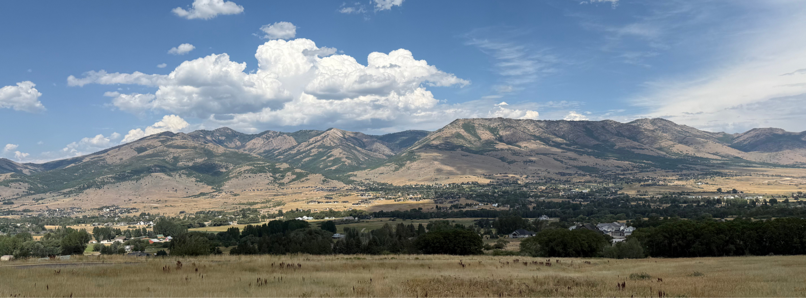
Explore the Ogden Valley
Scenic roads throughout Ogden Valley connect travelers to recreation areas, communities and roadside overlooks.
Scenic Byways & Gateway Communities
The Ogden River Scenic Byway (SR-39) connects Ogden Canyon, Pineview Reservoir and the Monte Cristo area. Plan extra time and use designated pullouts when stopping to enjoy the scenery.
Ogden River – Monte Cristo Scenic Byway (SR-39)
This state scenic byway follows SR-39 for 44 miles from the mouth of Ogden Canyon to the eastern boundary of the Uinta-Wasatch-Cache National Forest. The full drive continuing all the way to its eastern terminus in the town of Woodruff is about 60 miles. Motorists should allow an hour and a half to two hours for this drive.
Cyclists are permitted to ride on the Ogden River Scenic Byway. However, riding through Ogden Canyon specifically is considered challenging and unsafe due to high vehicle speeds, narrow road shoulders, and blind curves. Bring lights and bright clothing for visibility.
-
- Distance: 60 miles
- Estimated Time: 2 hrs
- Route: SR-39 (paved highway with generally low to moderate traffic)
- Starting Elevation: (Ogden Canyon Mouth) ~ 4,400 ft | Peak Elevation: (Monte Cristo Summit) 9,017 ft | Ending Elevation: (Woodruff) ~6,300 ft
- Elevation Gain: 4,600 ft | Elevation Loss: 2,700 ft
- Road Conditions: Mostly smooth highway shoulders
- Services: Sparse between towns; carry water and snacks. Limited cell service in some areas
Gateway Communities
Ogden Valley City
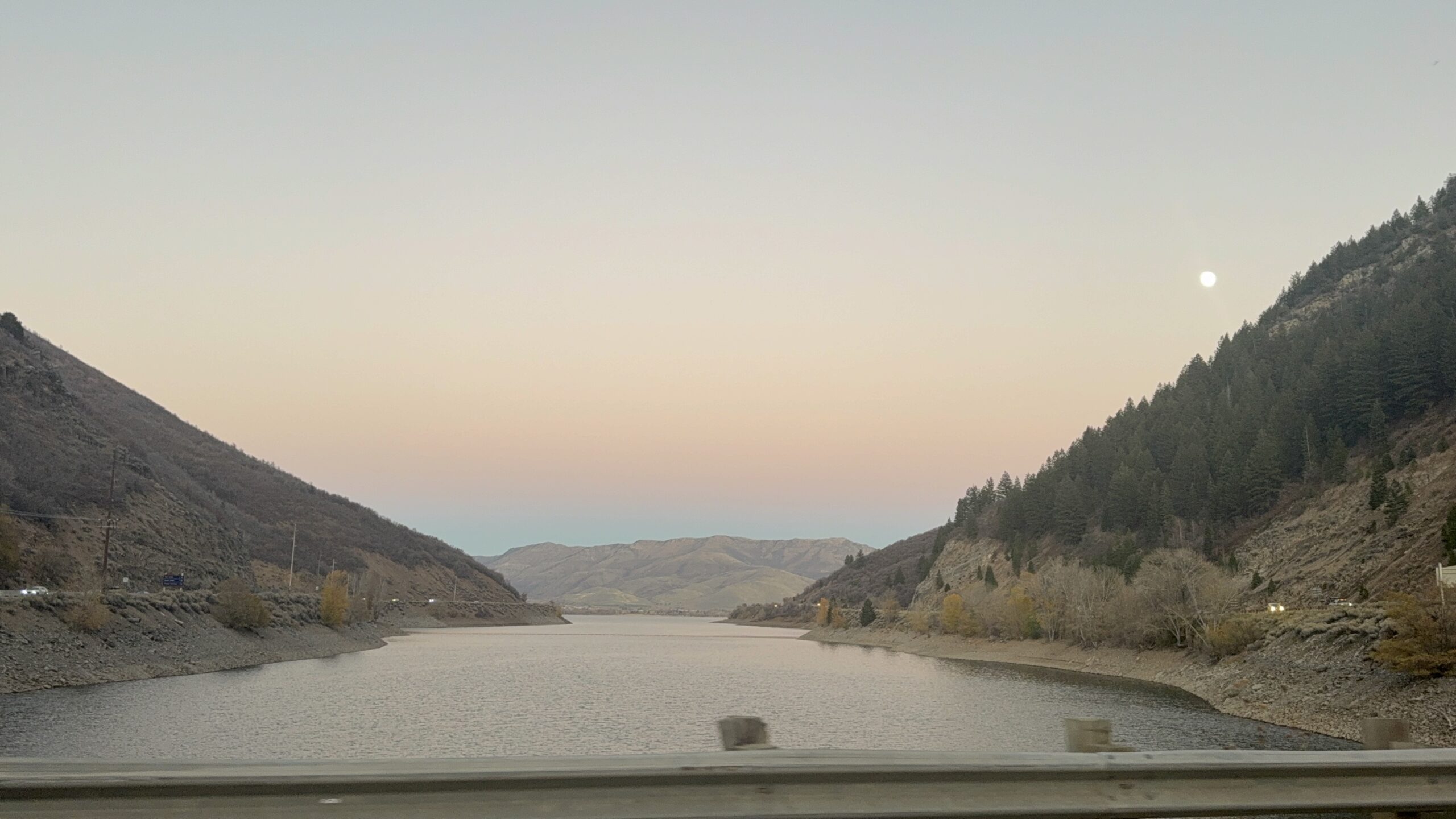
Ogden Valley City is Utah’s newest incorporated municipality surrounding Huntsville Town, Eden, Liberty and Nordic Valley. The newly incorporated city sits directly adjacent to world-class recreation areas including Snowbasin Resort, Powder Mountain, Nordic Valley, Pineview Reservoir, Causey Reservoir, and North Fork Park.
Huntsville Town
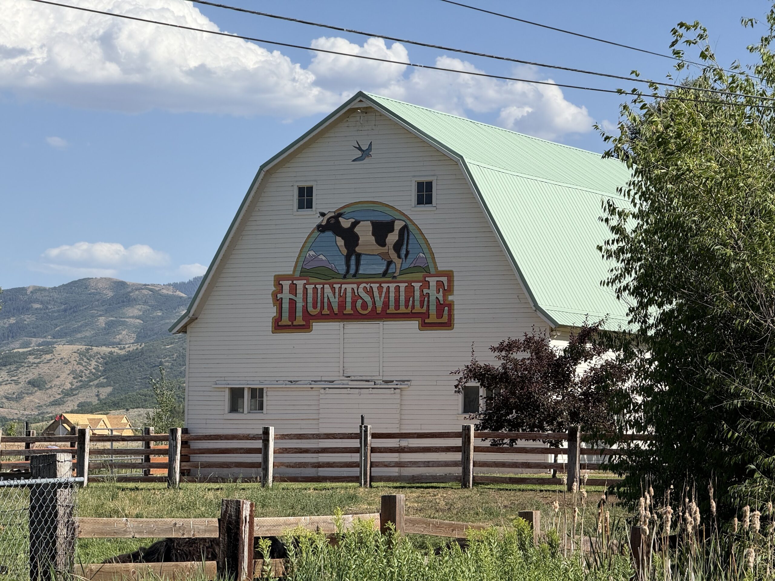
Huntsville Town is on the eastern shore of Pineview Reservoir and provides access to several recreation areas.
To manage residential parking, the town restricts parking to a permit-only parking zone. Non-residents parking in these areas risk ticketing or towing.
Eden
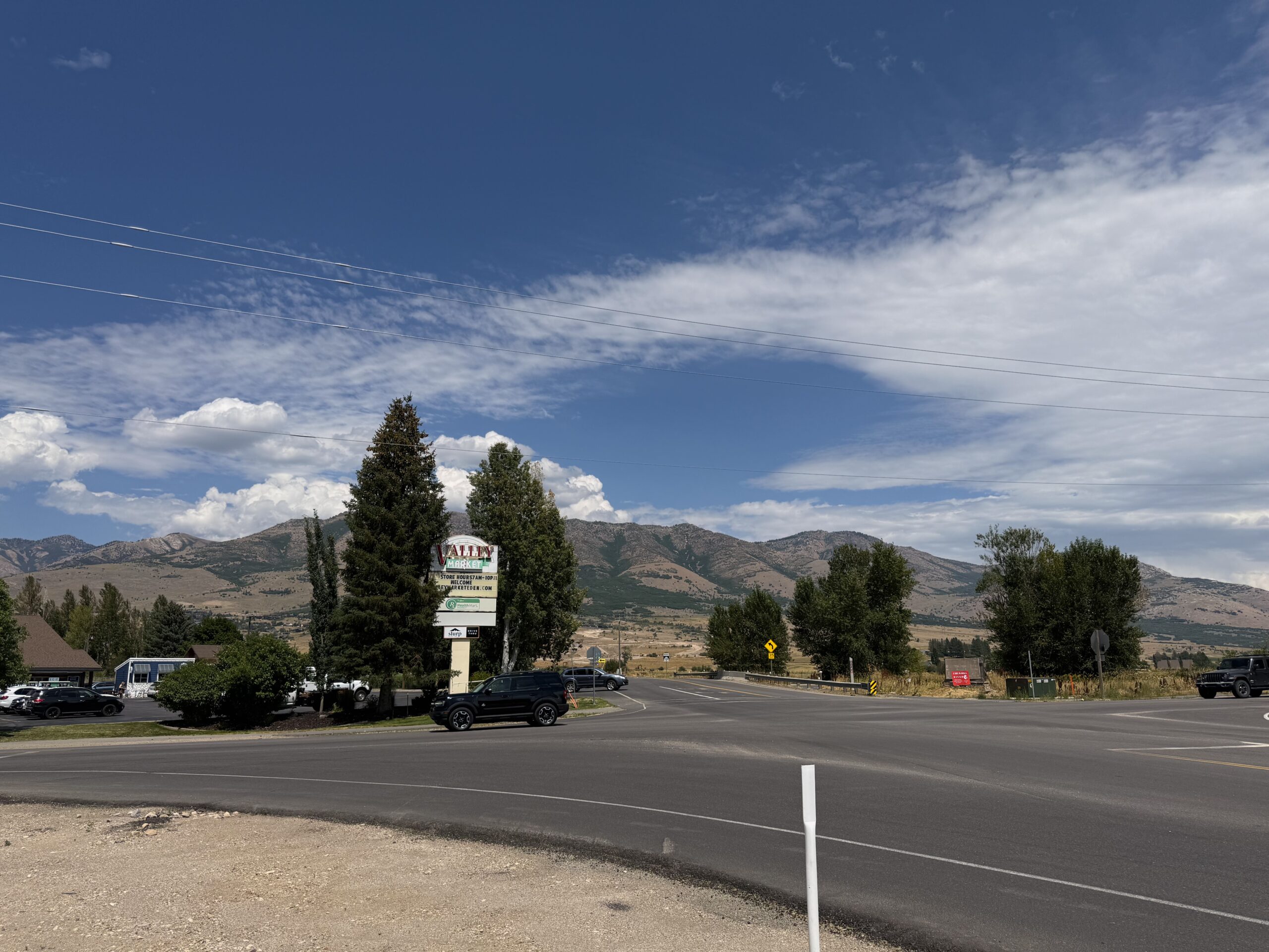
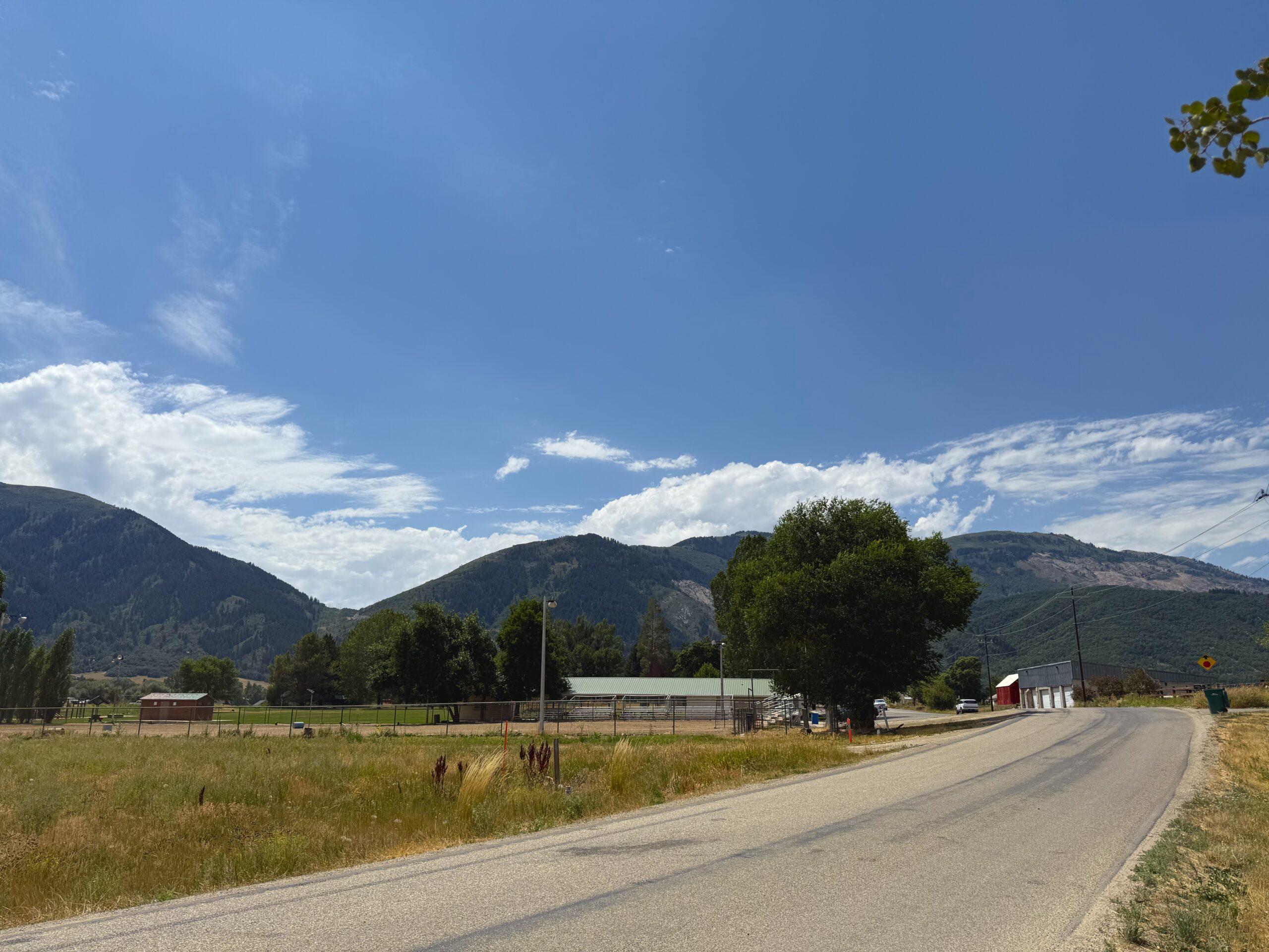
Eden provides access to Powder Mountain, Nordic Valley and recreation areas around Pineview Reservoir. Be alert for pedestrians because many roads lack sidewalks, curbs and street lighting.Eden provides access to Powder Mountain, Nordic Valley and recreation areas around Pineview Reservoir. Be alert for pedestrians because many roads lack sidewalks, curbs and street lighting.
Liberty
Liberty provides access to provides access to North Fork Park and Nordic Valley.
Traffic flows through Liberty via the North Ogden Divide and along SR-158.
Lookout Points
The Ogden Valley features some of the most scenic mountain passes in the Wasatch Range. These designated scenic overlooks offer safe, paved pull-outs for travelers to take in the views without disrupting the flow of canyon traffic.
East Fork Overlook
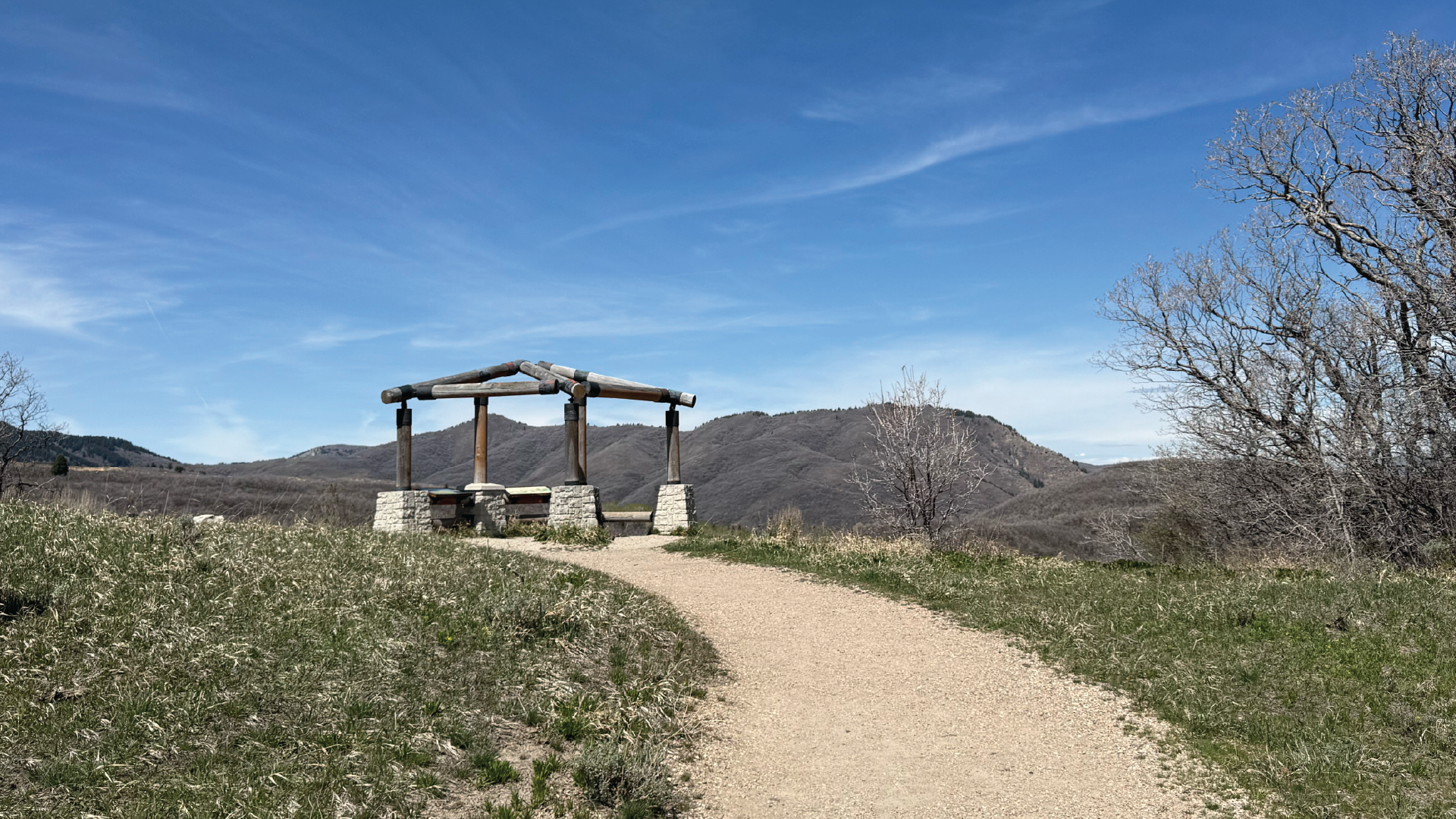
East Fork Overlook is accessible from a paved roadside pullout and offers a safe place to stop along SR-39.
Causey Reservoir Lookout
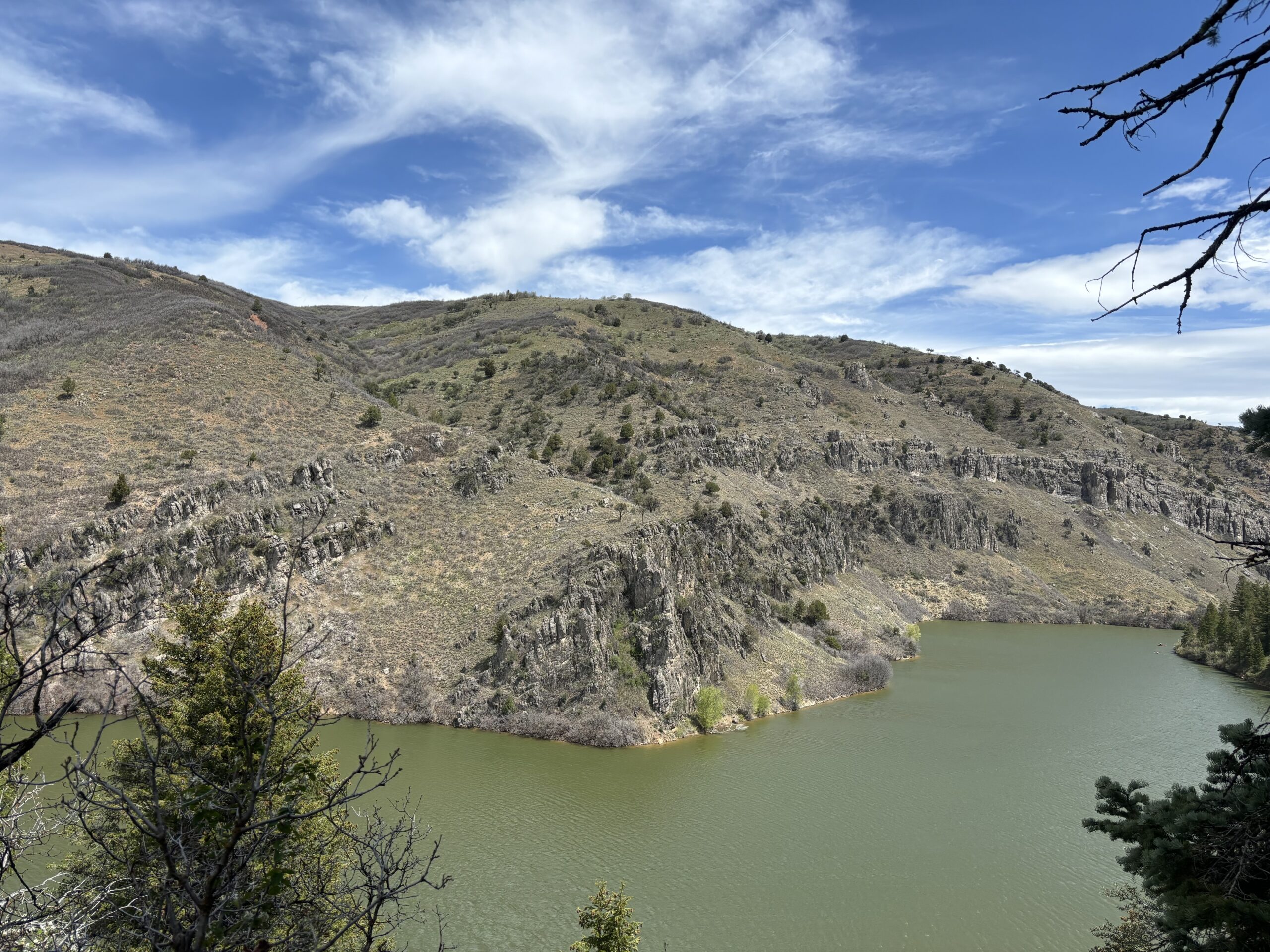
Causey Dam Overlook is located near the west end of Causey Reservoir. Causey Dam Overlook is located near the west end of Causey Reservoir.
Travel tip: Causey Dam Overlook is currently closed while crews work to install curb and gutter and prepare the road for paving until September 15, 2026.
Monte Cristo Overlook
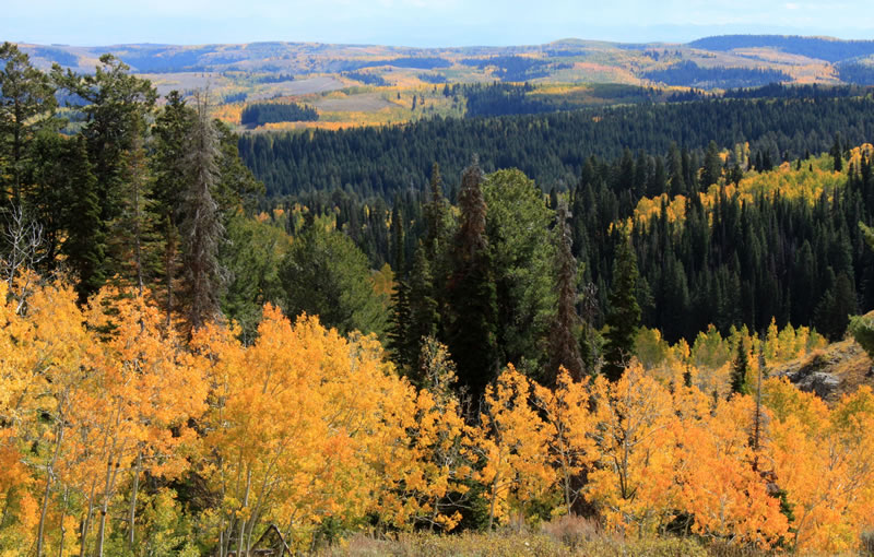
The Monte Cristo Overlook is a stopping point on the Ogden River Scenic Byway located near the Monte Cristo 9,000-foot summit. This high-altitude roadside pullout is most popular in late September when the aspen groves are at peak fall colors.
The Monte Cristo portion of the scenic drive is a two--lane road in mountainous terrain. Don’t be distracted by the scenery while driving.
Travel Tip: Stay in in your lane except when entering or leaving a designated when entering or leaving a designated pullout. Watch for opposing traffic, cattle and wildlife on the road.